
Reverse Image Location
Find where a photo was taken with AI geolocation reasoning.
- Launched November 21, 2026
- 0comments
- 0upvotes
- 1impression
About Reverse Image Location
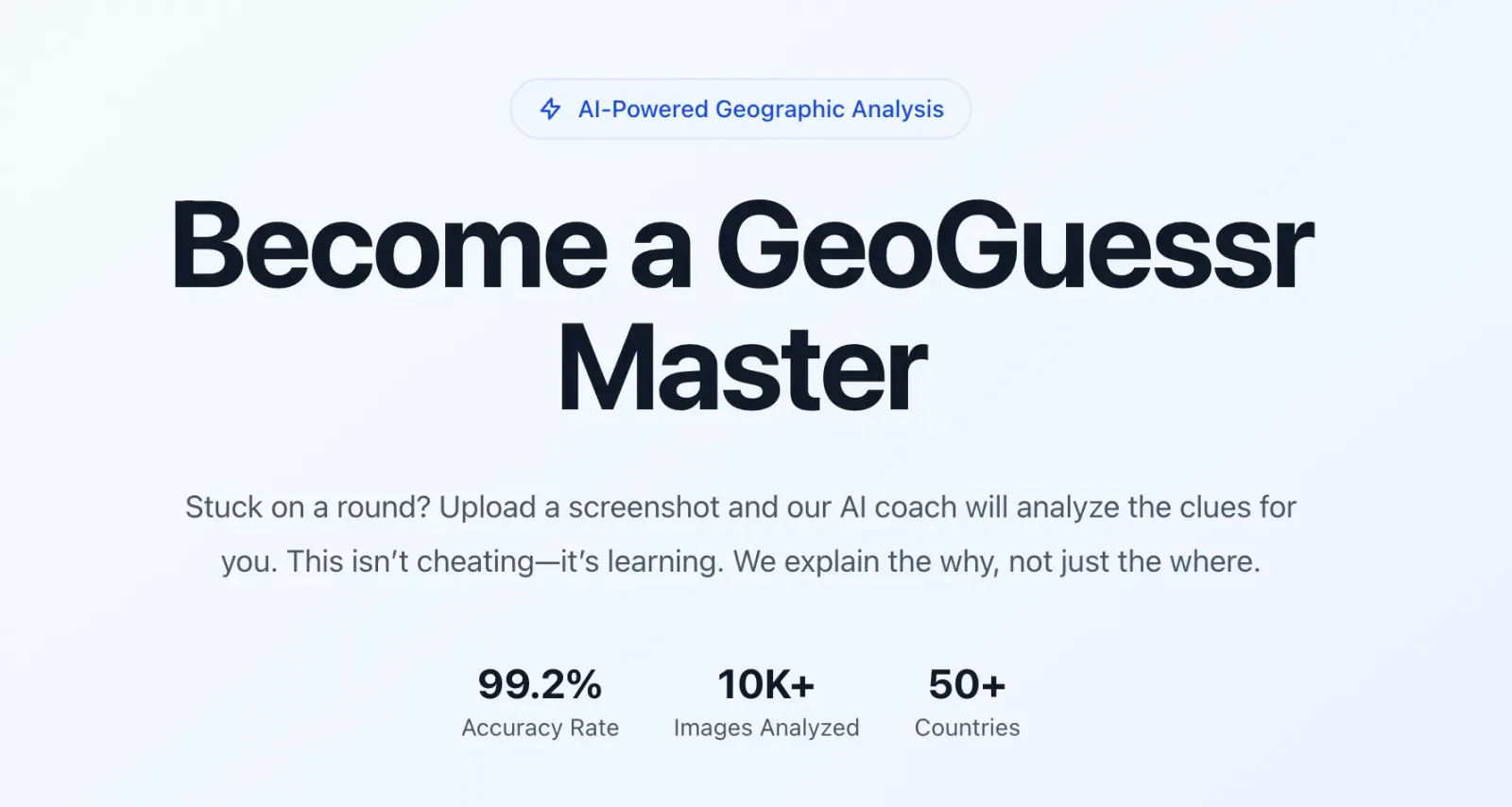
Reverse Image Location (Geo Solver) is an AI photo geolocation tool that helps identify where a photo was taken, even when EXIF metadata is missing. It analyzes visual clues such as road markings, road signs, architecture, vegetation, vehicles, and environmental context, then explains the evidence behind the location guess. It is useful for GeoGuessr practice, OSINT research, travel verification, and reverse image location search.
Built with
Discussion
Add a rating (optional)
Sign in to join the conversation…
0 / 2,000
Alternatives to Reverse Image Location

Where is this place
Find where any photo was taken in seconds with AI-power
29impressions
Picaloca: AI Image Analyzer
Analyze any photo with AI: locations, movies, outfits, menus...
223impressions